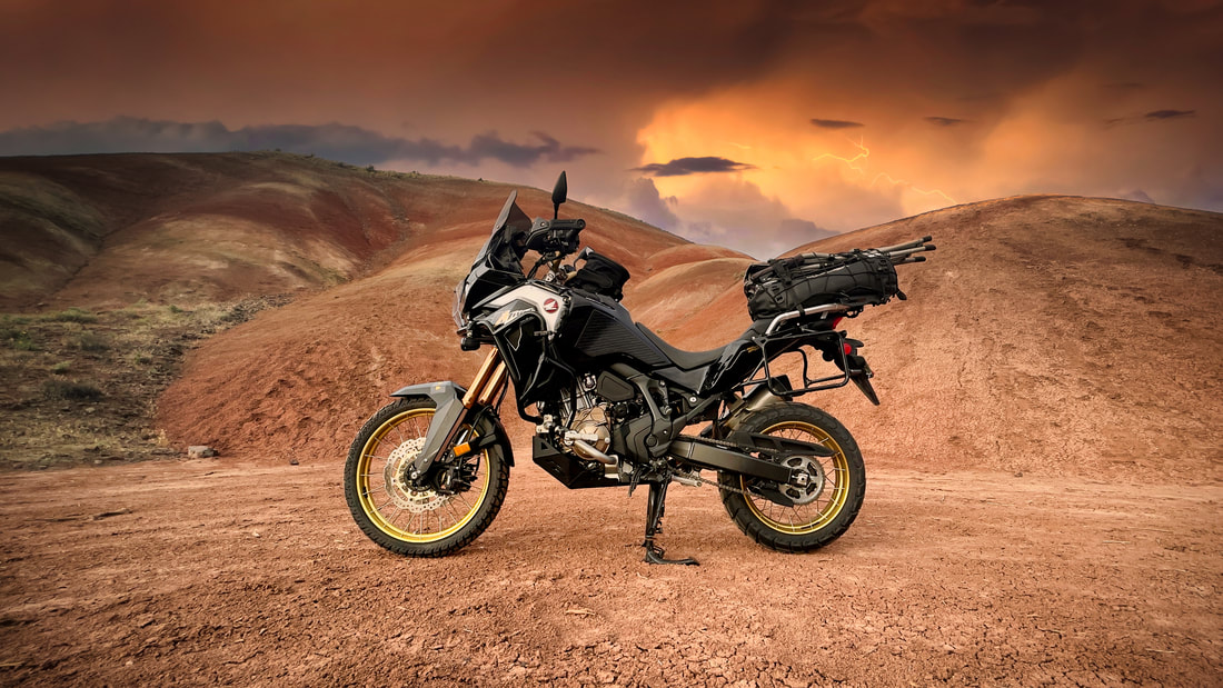
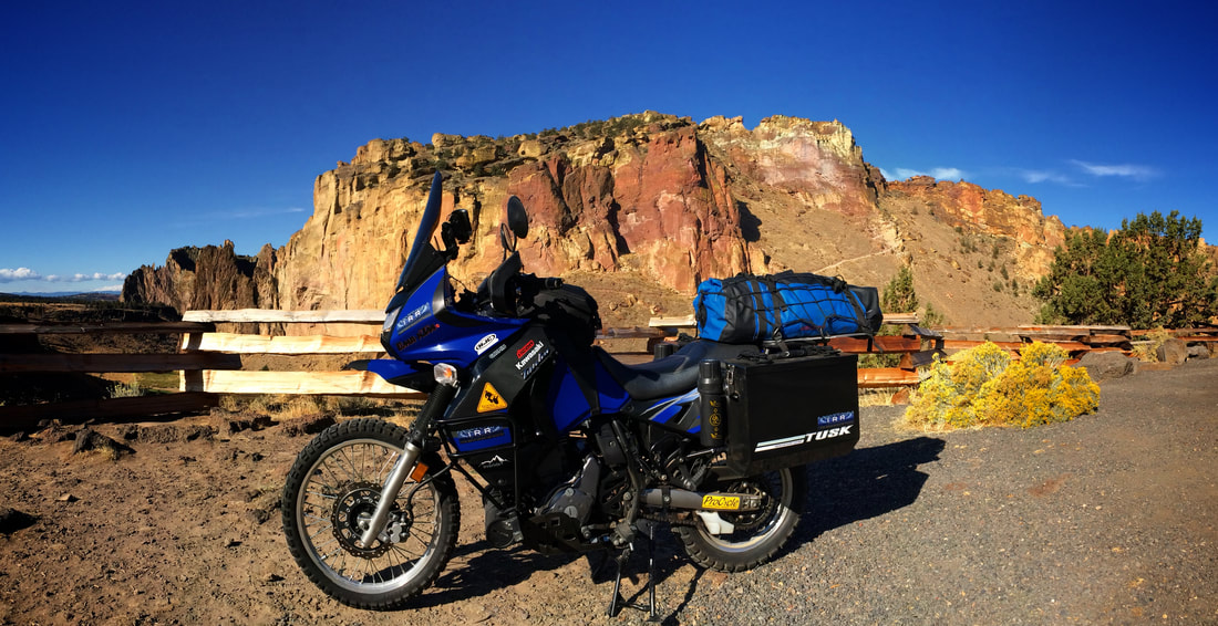
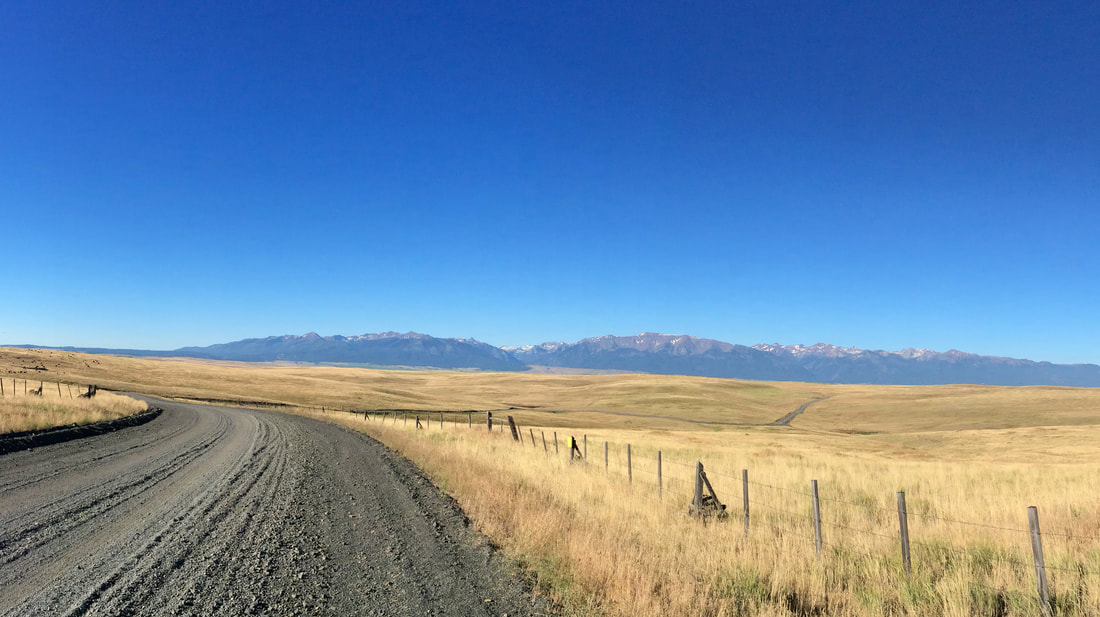
SPRING HIGH DESERTS & CANYONS
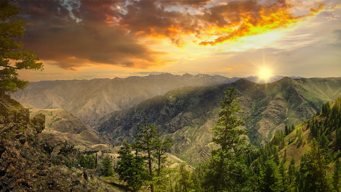
Central and Eastern Oregon are home to some of the spectacular landscapes in North America including vast expanses of sagebrush sea, and remote mountain ranges. Central Oregon is a picturesque treasure of small-town charm, the great outdoors, world-famous cuisine, scenic communities, and a robust historic past. With all that and more, it can be a tad overwhelming to take it in. We’re all for taking it in at a leisurely pace so that our ride is memorable, interesting, and capture a place’s essence. For this Event we compiled a few our favorites to make your next adventure off the beaten path fun and exciting. We will begin our Adventure on a Friday afternoon to get some miles under our belt. Our first destination will be located on the Crooked River. The following days will include the Malheur, Hells Canyon, The Little Oregon Alps, The John Day, and then Back to the Rogue Valley. The event will accommodate any Motorcycle having the ability to haul your luggage and gear and is also designed to be done by SUV's, RV's, and Recreational Vehicles with a little higher clearance, and the ability to explore. Couples with a single vehicle can add $25 per day to the cost. Just do the math and select the (Custom Amount) to pay at checkout. Minimum event occupancy is 3 clients total and each ride event is limited to 9 occupants. No additional discounts are available at this time! The cost of food, fuel, and lodginging is not provided by IRR - I Ride Rogue and is the sole responsibility of each client. The deadline for registration is February 1st, 2023. Call us at 541-621-8814 for additional details. GPX Files can be downloaded for your navigational devices and the Google Icon will open an interactive map for your viewing online. THE COST OF THIS EVENT IS $600 SEE THE RATE SCHEDULE HERE.

|
|
|

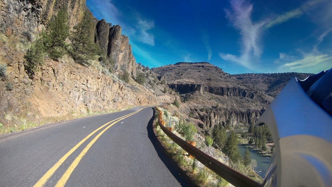
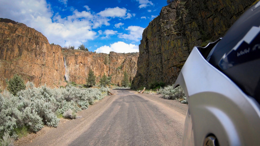
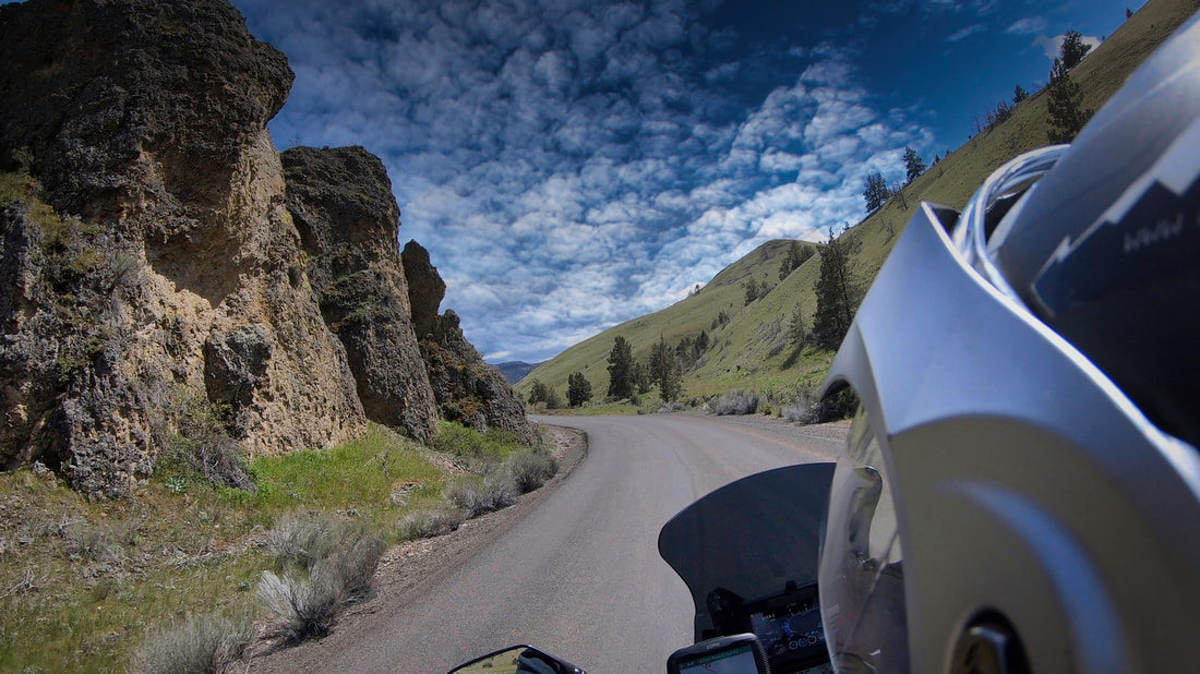


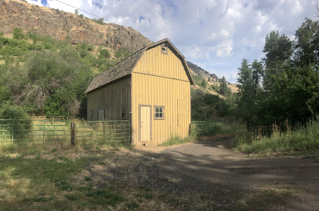


DAY 1 CROOKED RIVERMileage: Total miles to Crooked River Canyon 221 mi.
Campground: Chimney Rock, Palisades, Cobble Rock, Still Water. Fuel: Longest distance between Fuel Points is 80-120 miles. Fueling Points are available in Dinner: In camp, Backpack meals. Coffee, Tea, or Beverage. Info: The section of river flows through scenic vertical basalt canyons and is like dropping into another world! It is the perfect destination for a quick camp set-up, sitting around the fire, and getting your mind wrapped around the next day! Highlights: Need to Know: Always remember you Camera, Swimsuit, and Snacks! Meets at: The Triple Tree Restaurant Departure Time: 9:00 AM Helpful Link: |

GPX HWY

HWY MAP
WEATHER INFO |


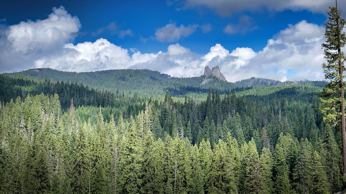
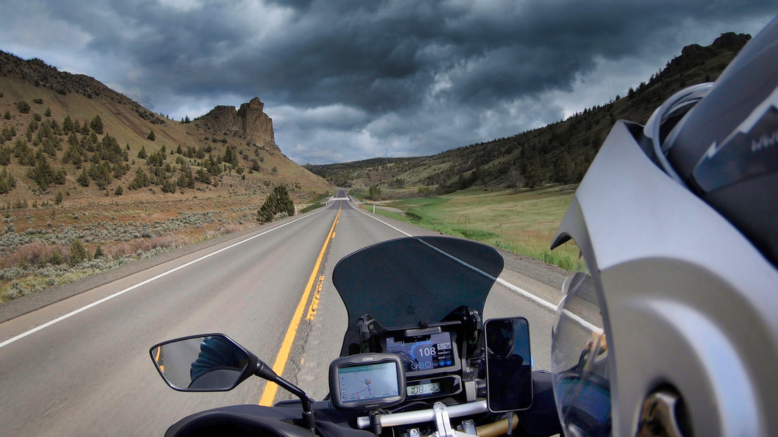
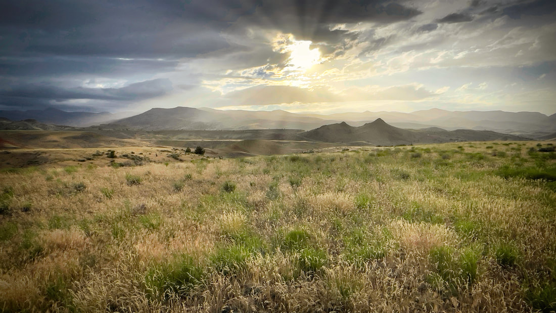
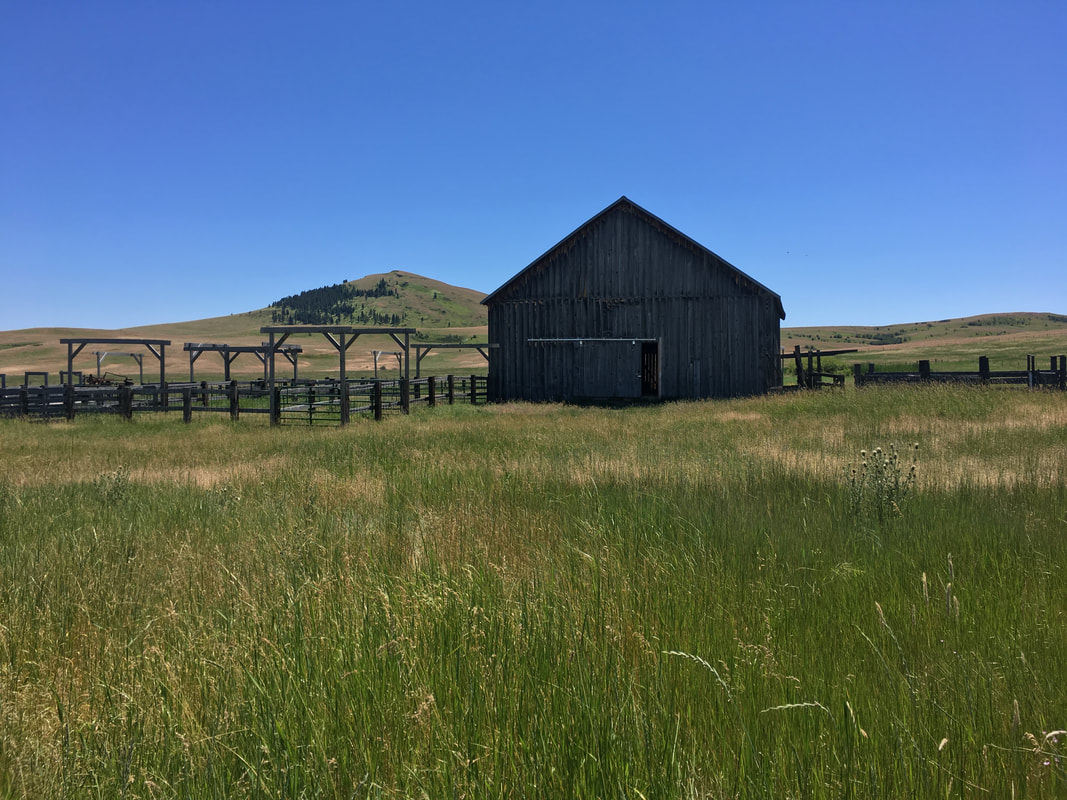
DAY 2 CENTRAL OREGONMileage: Total miles to Eldorado C.G. 211 mi.
Campground: Big Creek CG. Eldorado Fuel: Longest distance between Fuel Points is 80-120 miles. Fueling Points are available in Dinner: In camp, Backpack meals. Coffee, Tea, or Beverage. Info: This segment is Scenic, Historical, Curvy, and incorporates wide open views of the pristine cattle country of Central Oregon. It truly is the center of Oregon and runs through the Blue Mountain Range, Seneca, The Bear Valley at the northern edge of the Great Basin. The Malheur and Strawberry Mountains. Some of the best remote places in Oregon. Travel on this day will be leisurely and usually includes a stop in Post for Root Beer and Creamsicle Floats. Big Creek Campground sits at the edge of beautiful Logan Valley along Big Creek and is a great starting point for multiple recreation opportunities, including mountain biking, hiking, stream fishing, hunting and bird watching and exploring the Strawberry Mountain Wilderness. In the spring and early summer the area is exceptional for wildflower viewing. We may also continue on to Eldorado CG. Highlights: Need to Know: Always remember you Camera, Swimsuit, and Snacks! Meets at: The Triple Tree Restaurant Departure Time: 9:00 AM Helpful Link: |

GPX HWY

HWY MAP
WEATHER INFO |


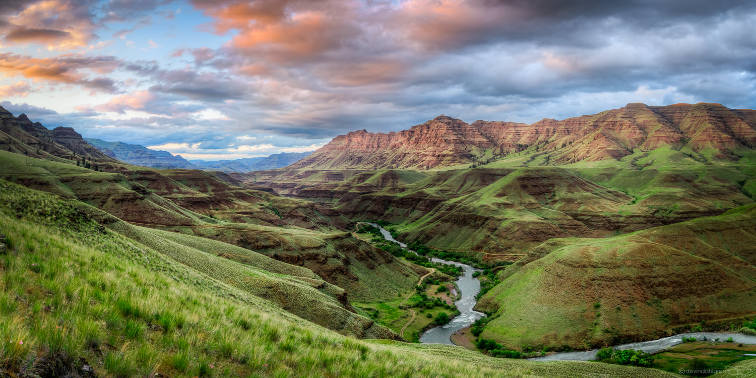
DAY 3 HELLS CANYON AND THE IMNAHAMileage: Total miles to Eldorado C.G. 211 mi.
Campground: Ollokot Campground The Ollokot Campground is located in an old growth ponderosa pine forest along the Wild and Scenic Imnaha River. As a favorite weekend 'get away' or summer destination site, the area remains popular for those wanting to fish, pick berries, take day hikes, or explore along the Hells Canyon Scenic Byway. Fuel: Longest distance between Fuel Points is 80-120 miles. Fueling Points are available in Dinner: In camp, Backpack meals. Coffee, Tea, or Beverage. Info: Hells Canyon & the Snake Follow Highway 86 from the junction of the Forest Road 39 to the Snake River, across the bridge and on to Hells Canyon Dam. Nearly 100 miles of backwater from three Idaho Power hydroelectric dams provide ample space for watercraft enthusiasts and anglers alike. The river is wild and scenic below the dam, and affords excellent opportunities to view Hells Canyon from waters edge up! Services at Pine, Oxbow, and at rivers edge include lodging, dining, groceries, gas, and shuttle service. Recreational opportunities include rafting, jet boat rides, camping, fishing, and hiking in the nation’s deepest river gorge. The route of the Hells Canyon Scenic Byway is a loop that encircles the Wallowa Mountains, intersecting with Interstate 84 at La Grande and Baker City. Small towns, scattered along the drive, offer visitor services. The entire route is on a paved highway. Plan ahead—you’ll find stretches of more than eighty miles without gas and with few services. A segment of the Byway between Joseph and Halfway closes with snow in winter, but allows access to winter recreation areas, offering a whole other kind of Northeast Oregon Adventure. There are five ports of entry into the Byway: La Grande from I-84, Elgin via OR Hwy. 204, Enterprise via OR Hwy. 3, - Oxbow via Idaho Hwy. 71, and Baker City from I-84. To en compass the entire route, this itinerary follows the Byway traveling from Baker City. Highlights: Need to Know: Always remember you Camera, Swimsuit, and Snacks! Helpful Link: |

GPX HWY

HWY MAP
WEATHER INFO |


DAY 4 THE LITTLE OREGON ALPSMileage:
Campground: Anthony Lake Campground Fuel: Longest distance between Fuel Points is 80-120 miles. Fueling Points are available in Dinner: In camp, Backpack meals. Coffee, Tea, or Beverage. Info: Highlights: Need to Know: Always remember you Camera, Swimsuit, and Snacks! Helpful Link: |

GPX HWY

HWY MAP
WEATHER INFO |


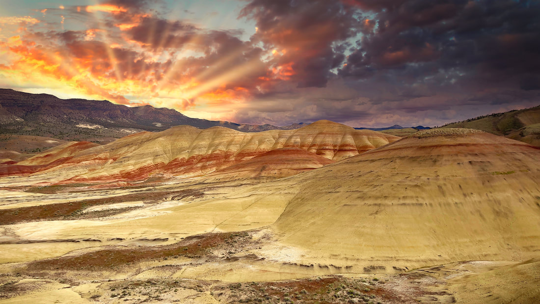
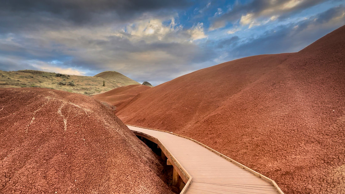
DAY 5 PAINTED HILLS & FOSSIL LANDSMileage:
Campground: Spoke N Hostel Fuel: Longest distance between Fuel Points is 80-120 miles. Fueling Points are available in Dinner: In camp, Backpack meals. Coffee, Tea, or Beverage. Info: Highlights: Need to Know: Always remember you Camera, Swimsuit, and Snacks! Helpful Link: |

GPX HWY

HWY MAP
WEATHER INFO |


DAY 6 HOMEMileage: Total miles to Eldorado C.G. 211 mi.
Campground: Anthony Lake Campground Fuel: Longest distance between Fuel Points is 80-120 miles. Fueling Points are available in Dinner: In camp, Backpack meals. Coffee, Tea, or Beverage. Info: Highlights: Need to Know: Always remember you Camera, Swimsuit, and Snacks! Helpful Link: |

GPX HWY

HWY MAP
WEATHER INFO |