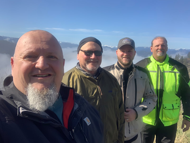
BACKCOUNTRY XCURSION ROUTES are provided by the Ministry of Wild on the Path Adventure Projects and provide Men's and Family Events. It is an opportunity for fellow adventures to enjoy a community of folks who desire to thrive as leaders personally, in their tribe, and those around them.
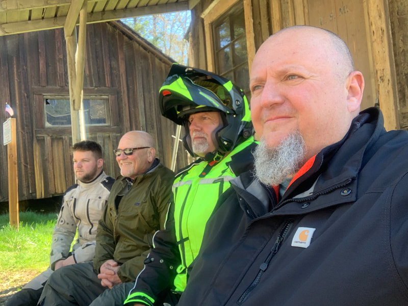
ADVENTURE CHALLENGES are what we call 'run what ya brung' events and we mean it! The events are for men who love discovery, exploration, new experiences, community, and the pursuit of God's heart. It is open to all levels of wildness! You can camp in tents, rv's, in a hammock, or off the back of a motorcycle. You might be the guy who sleeps in his car, or right on the ground. It's all good! During any event you will find us gathering together, usually around a fire and challenging ourselves to become better leaders in our lives, homes, and communities. Below you will find all the information you need to be a part of this Wild on the Path experience.
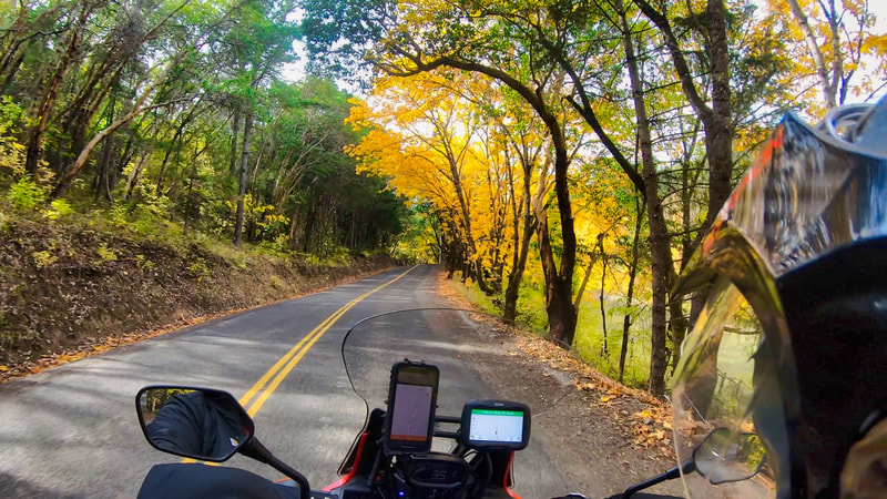
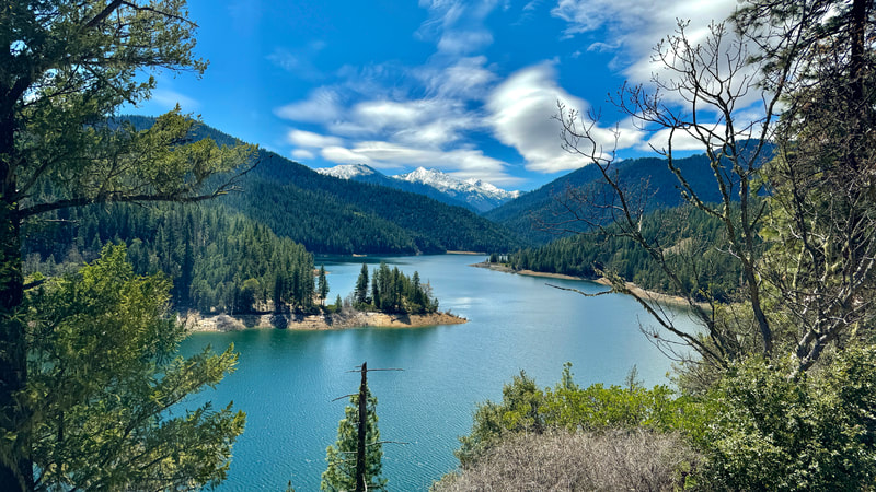
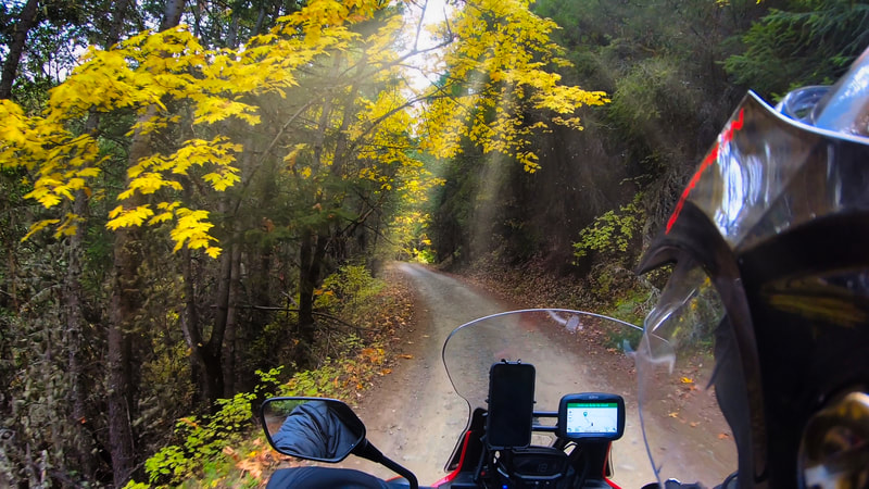
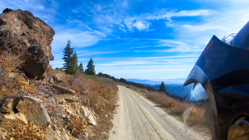
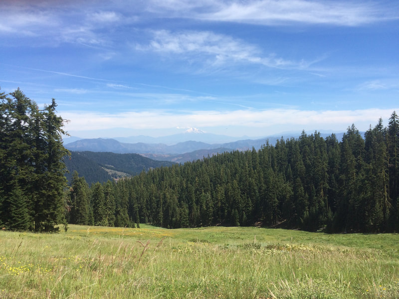
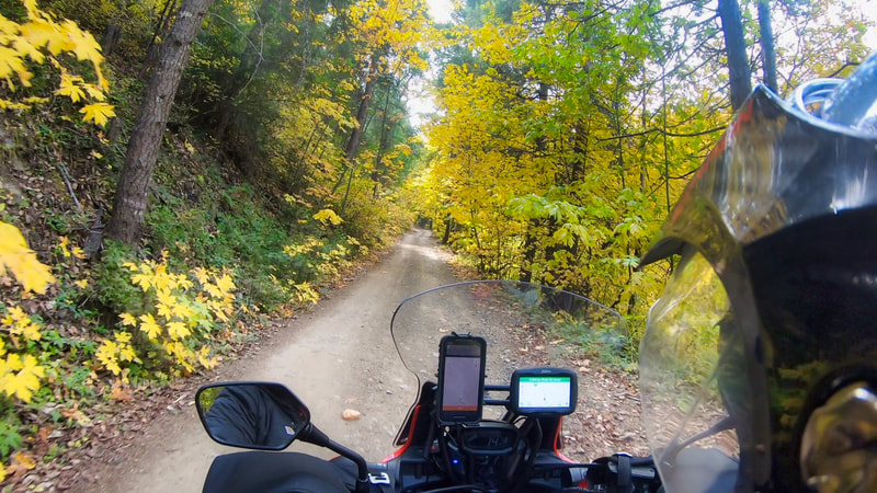
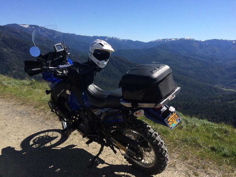
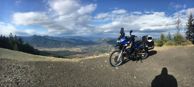
BXRINFO: This Xcursion is primarily gravel roads with a few ruts and mud puddles depending on the time of year. It takes approximately 4 hrs to complete the route and is a very scenic ride with old cabins, historical points of interest and several places for horizon viewing of the Siskiyou Mountain Range.
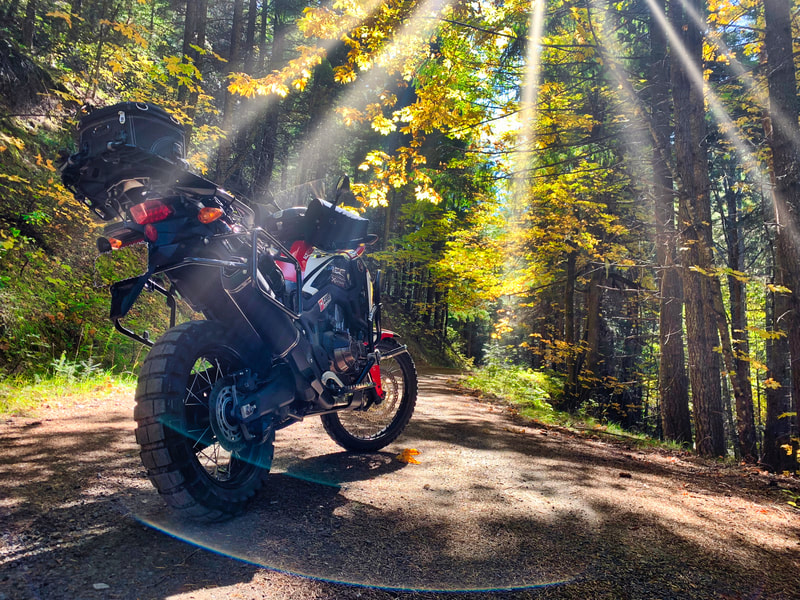
Departure Time: Recommended for Morning and Evening Travel especially during Late Spring and Mid Fall> Mileage: This ride is approximately 62.0 miles. Campground: Wrangle Gap Shelter, Little Applegate Road Near NF-20, Rogue River National Forest Built 1935-1936. The Wrangle Gap "Community Kitchen" Shelter was built during the Great Depression by Civilian Conservation Corps (CCC) crews from Camp Applegate. The shelter retains its integrity of setting, design and materials. It is the only intact feature built by the CCC remaining in the campground area. The site was chosen for its proximity to the Beaver Creek-Mount Ashland Loop Road, completed by the CCC the same year. The route immediately became a popular summer sightseeing drive for tourists and locals. The shelter is one of five community kitchen shelters on the Rogue River National Forest. Fuel: Fueling should be done previous to leaving Jacksonville, OR or your arrival at IRR. 5415 Hwy 238. Jacksonville, OR 97530. This ride is approximately 86.0 TO 100.0 miles, and it is in high elevation. Food: Pack a Lunch and Plenty of Snacks, Drinks, ect. Highlights: Rogue River - Siskiyou National Forest Need to Know: Always Fuel previous to your departure! Don't forget camera gear. Thunderstorms are always possible. Be Prepared! How Difficult is the Route? The ANDERSON BUTTE BXR is without a doubt best enjoyed on adventure motorcycles. However the route is great in SUV's and 4x4's for anyone wanting a great day trip or Hiking Destination. There are many single-track style trails on this route but they are not suitable for larger ADV Bikes. Many of the roads are in remote areas and reach mid-range elevation areas where road maintenance is minimal or non-existent. You can expect to cover sections of road with some ruts, loose rocks, and other challenges. Road conditions change from week to week based on the recent weather. When you see signs that read, “Roads maybe impassable when wet”, use caution, roads become very slick and can be impassable. You may also encounter sections that have trees or branches over the road. There are alternate "easier" routes around a few of the most challenging sections when these conditions and weather make travel difficult. Hiking Trails: Anderson Butte National Recreation Trails For More Information Contact:
|
