FALL CAPITOL REEF UTAH SEPTEMBER 15TH-24TH
One of the first things we are asked when we do this Utah Event is... "Will you be going to Bryce Canyon, Zion National Park, or Moab?" The answer is simple... No!
If you are wanting to follow a tour bus, fight crowds of trippers and rubberneckers that love being elbow to elbow, or if you like to sit in traffic and hunt around for a parking space in the National Parks then this trip is not for you! On the other hand... If you desire to get on the best roads in Utah, take great photos while visiting the remote areas that most folks drive right by or don't care to discover then come along. Just know that there is no other company in the Nation that will do an equivalent event like this and we would prefer that you keep this information to yourself! Why? you ask!
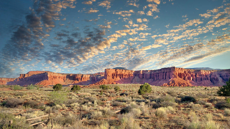
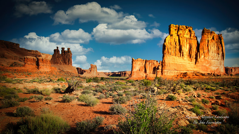
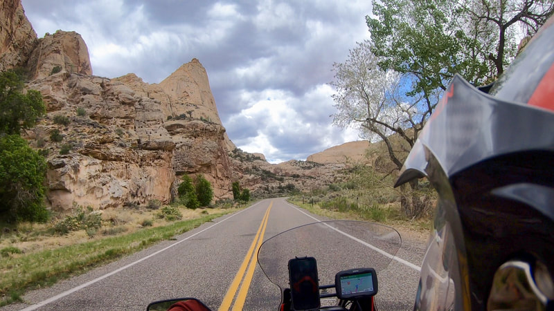
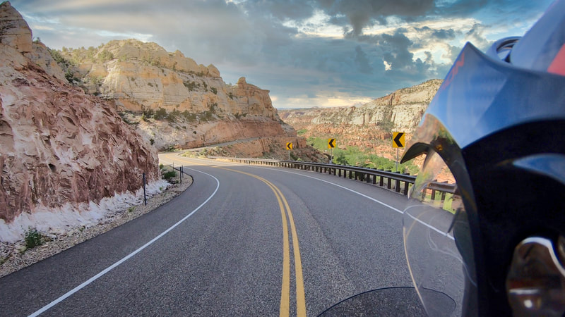
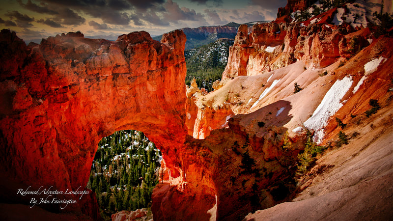
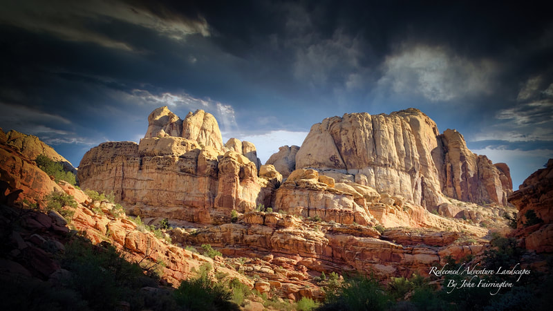
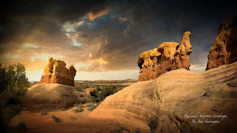
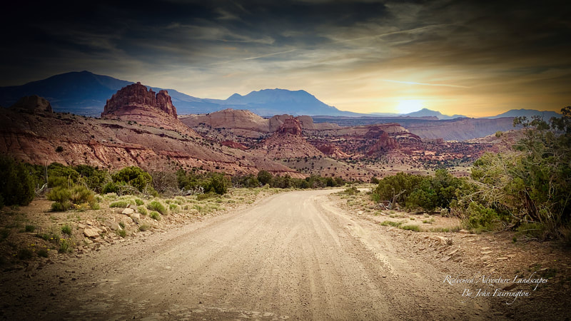
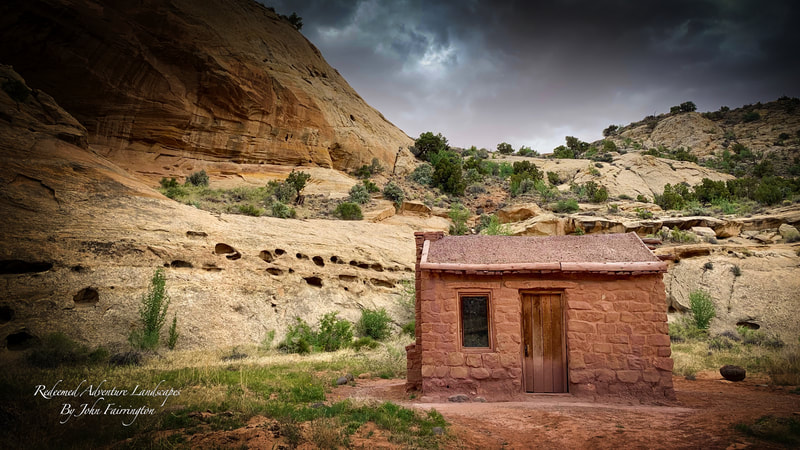
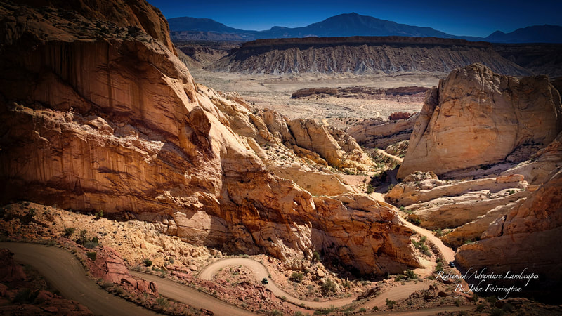
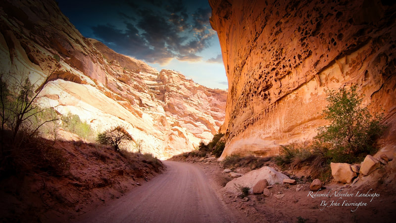
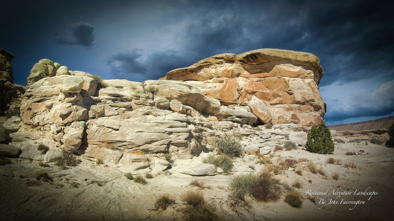
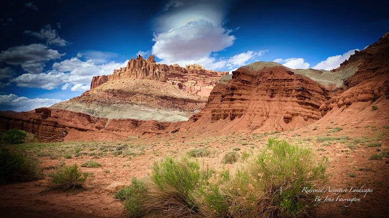
The allure of the Capitol Reef and the northern portions of the Escalante is phenomenal. Nearly 3,000 square miles of sun-drenched Utah backcountry spread out well beyond the visible horizon from the road, whether you’re traveling along the All-American Highway known as Scenic Byway 12, or through the scenic routes and byways like The Bullion Pass in the Fishlake National Forest, or on the Gooseberry Scenic Byway in the Manti-La Sal, Hell’s Backbone in the Dixie National Forest, and the Crown Jewel of them all… The Burr Trail Road over the Water Pocket Fold in Capitol Reef National Park. Places like Cathedral Valley, Grand Wash, Capitol Gorge, Muley Twist, Singing Canyon, Posey Lake, The Devil’s Kitchen, Hell’s Backbone, the Gooseberry Scenic Byway, and The Aquarius Plateau are just a small portion of the Fall Scenery you will encounter with IRR - I Ride Rogue. Nearly 1.9-million acres of colorful sandstone cliffs soaring above narrow slot canyons; picturesque washes and seemingly endless slickrock; prehistoric village sites and abandoned Historical Sites, Aspen Forests, and Fall Colors, among many other treasures that very few ever venture out to visit. These areas are more remote and less visited than anywhere else in Utah. They are spectacular and contain the most extensive landscapes of vast and pristine backcountry, affording excellent opportunities for solitude and unconfined wilderness recreation in Utah. We have spent over 20 years finding these most unique hidden gems and invested thousands of dollars developing this Xcursion. If you are at a point in your adventure and backcountry career where you want to do more than just bust out miles to get in line with the rest of tourism than let us just say, this trip provides relaxation, off-hwy touring, leisurely driving and riding, hiking and the most memorable trip you will ever do on an adventure motorcycle or vehicle all at the least expense to your pocket book. It is in our opinion the most memorable experience you can have in the States and we call it adventure eyecandy! One thing is certain… You will be rewarded at the end of your trip with vivid memories and a yearning to return for years to come. The cost of food, fuel, and lodginging is not provided by IRR - I Ride Rogue and is the sole responsibility of each client. The deadline for registration is February 1st, 2023. Call us at 541-621-8814 for additional details. GPX Files can be downloaded for your navigational devices and the Google Icon will open an interactive map for your viewing online. THE COST OF THIS EVENT IS $900 SEE THE RATE SCHEDULE HERE
DAY 1 COLD SPRINGS STATION NEVADAMileage: Total miles 445.0
Campground: Cold Springs Station $25 per Fuel: Longest distance between Fuel Points is 80-120 miles. Fueling Points are available in White City • Merril OR • Cedarville CA • Gerlach, NV, • Fernley, NV • Fallon NV. Dinner: At Cold Springs Station Resort Info: This travels through much of the Modoc National Forest and the Black Rock Desert in Fallon, Nevada. It is our favorite route getting there because has very little traffic, it is scenic, curvy, and remote for the first half of the day. If you head out the Lonely Highway very often then this is the only way to go in our honest opinion! Cold Springs Station Resort is established near the original site of the 1860 Pony Express Cold Springs Station located on Hwy 50 The Loneliest Road in America. We are a destination resort featuring a restaurant, bar, gift shop, RV park, cabins and a motel. The great beauty of central Nevada awaits the traveler. ATV friendly and a perfect layover for the cross country bicyclist or driver. The mountains surrounding the Station reach altitudes of over nine thousand feet and are readily accessible by four wheel drive or off road vehicles. Hunters and nature watchers come to see the abundant wildlife as the mountain ranges host Antelope, Deer and Bighorn Sheep populations. Highlights: There is only one paved highway to Gerlach and the Black Rock Desert connect from Cedarville, CA in the west, and Fernley, NV. It is the gateway to the High Rock Desert and Black Rock Desert traveling through the Pyramid Lake Paiute Reservation Need to Know: This will be a fast pace day! Most of Nevada and Utah will have 75-80 MPH speed limits. It is import to keep this pace when possible! Always remember you Camera, Swimsuit, and Snacks! Departure Time: 6:00 am • The Human Bean, White City. OR. Helpful Link: The Black Rock Desert Playa • |
DAY 2 TORREY UTAHMileage: Total miles 504.0 (Loose 1 hour time with time change!)
Campground: Thousand Lakes RV Resort • Resort Park Services • Fuel: Longest distance between Fuel Points 90-100 miles. Dinner: Torrey Grill & BBQ on site, or In camp, Backpack meals. Supplies at Resort Store Info: In July of 1986, Life magazine dubbed Nevada’s Highway 50 the “Loneliest Road in America.” The article claimed there were “no points of interest” along the route and “warned” readers not to risk traveling it unless they were confident of their “survival skills.” However, Nevada adventurers knew better then—and still do. And sure, a road doesn’t get much more wide-open than Highway 50. But that’s exactly why we dig it. Today, this famous Nevada road trip is your gateway to ghost towns, historic mining communities, stunning state parks, unsurpassed recreational opportunities, and a handful of authenticity-packed Sagebrush Saloons, to boot. American Indians. The Pony Express. Gold miners. And now…you. Come chase some history while making plenty of your own. If it’s outdoor action you’re after, get ready for hiking, biking, camping, stargazing, hot springing, off-roading, wildlife watching, and Sagebrush Saloon-hopping. You’ll also encounter a few welcoming, far-flung (but just-close-enough) small towns, from farm-fresh Fallon to western history-packed Austin, Eureka, and Ely along the way. Cap it all off at Great Basin National Park, where sky-scraping peaks and 5,000-year-old trees beckon visitors who prefer their national parks served without a side of elbows at their vista points. Highlights: You may be wondering, what even is the Great Basin the area its name? The vast region covering much of Nevada and parts of four neighboring states is one marked by basin and range topography—wide-open valleys between tall mountains, with swathes of high desert cut by meandering streams. It may be called the Loneliest Hwy but that is just because some wander but never explore! As we get into the later part of or day we will travel through Kingston Canyon. It is one of the deepest antecedent canyons in the High Plateaus subprovince of the Colorado Plateaus. You'll enjoy the river canyon views! Need to Know: This will be a fast pace day! Most of Nevada and Utah will have 75-80 MPH speed limits. It is import to keep this pace when possible! Always remember you Camera, Swimsuit, and Snacks! Helpful Link: The Loneliest Highway • Nevada Wildlife Area • See Youtube Video Highlights of this Trip • |
DAY 3 GRAND WASH Mileage: Total miles 50.0
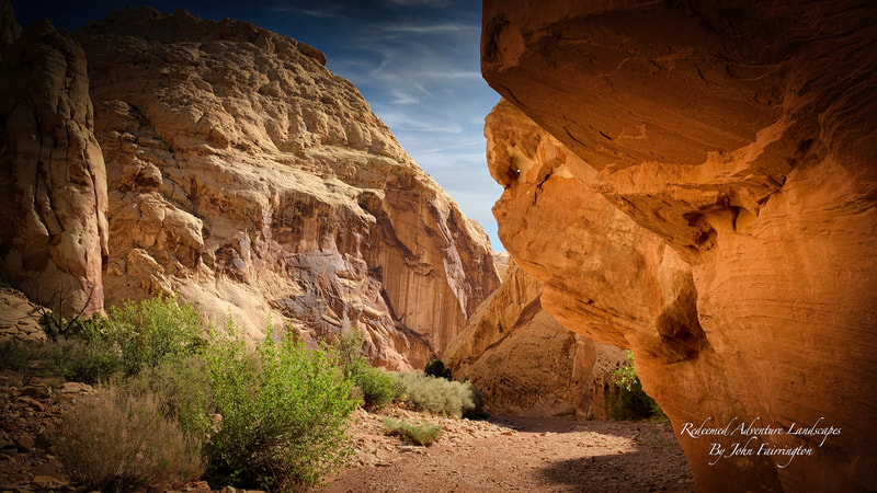
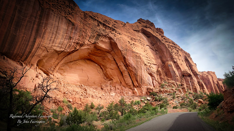
Campground: Thousand Lakes RV Resort • Resort Park Services • Fuel: Longest distance between Fuel Points is 45 miles. Dinner: Torrey, Utah or In camp, Backpack meals. Coffee, Tea, or Beverage. Info: Take this day to get the blood flowing in you lims again after the long ride to Utah. The Scenic Drive is a 7.9 mile (12.7 km) paved road, suitable for passenger vehicles. Allot about an hour and half roundtrip to drive the Scenic Drive and the two dirt spur roads, Grand Wash and Capitol Gorge. The hiking in this area is spectacular so we will hike portions of the wash and the gorge along with visits to Fruita, The Petroglyphs and then head for the Pool! Highlights: Every aspect of the area can only be understated. Words can't do it justice! It simply must be experienced. Need to Know: Bring a day pack with plenty of water and your camera. Enter the Grand Wash first and do it early! It doesn't take very long to get there and this gets you parking and solitude for photo ops! I get there by 6:00 am. I like to bring a walking or hiking stick and pack a light jacket on the way in. After your hike into the wash narrows head back up and drive to the Gorge to finish off your hiking. A short ride out to Fruita gets you to the Petroglyphs. All national Parks will require an Annual Pass or $20 Day Pass. Helpful Link: A Guide to Scenic Driving in Capitol Reef • Capitol Reef National Park • 4-Wheel Drive Jeep Rentals in Capitol Reef • Capitol Reef Video • |
DAY 4 THE HOG BACK AND DEVILS GARDEN •Mileage: Total miles 129.0
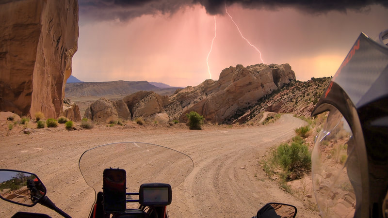
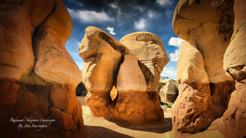
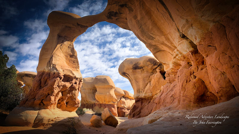
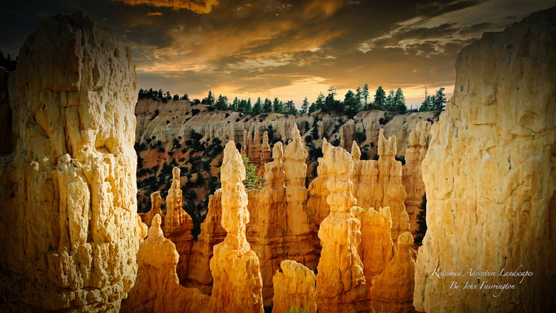
Campground: Thousand Lakes RV Resort • Resort Park Services • Fuel: 39.0 and 87.7 mile stretches. Dinner: In Area Restaurants, BBQ over fire, In camp, Backpack meals. Coffee, Tea, or Beverages. Info: One of the wildest drives in the United States is UT 12 in Boulder, Utah and it is the most scenic highways of south-central Utah. The Hells Backbone Road is one of the most scenic backways in Utah. In one area it follows a narrow hogsback with sheer drops to both the right and the left. It is steep in spots and it can be treacherous during stormy weather. The Devil's Garden Outstanding Natural Area is a miniature wonderland of Navajo Sandstone hoodoos, domes, narrow passages, and small arches, hidden from the view of drivers along Hole-in-the-Rock Road. Highlights: There is a possibility that we could hike Lower Calf Creek Falls. It is a 6.1 mile round trip. Leave early in the morning to get into this epic 120 ft waterfall and then grab lunch in Escalante followed by later Afternoon Photos in the Devil's Garden. Doing the hike does make for a longer day but also optimizes it for the best photo lighting in the morning and afternoon. The Garden is not a lot of hiking and allows for set up and relaxation before the return trip back to the Resort. Need to Know: If you plan to hike, bring hiking shoes that can get wet, a walking stick, hat, and day pack with plenty of water and snacks. Start conditioning for the hike at least a month ahead of time! Helpful Link: Youtube IRR Burr Trail Video • Hiking Lower Calf Creek Falls |
DAY 5 AQUARIUS PLATEAU • BURR TRAILMileage: Total miles 176.0
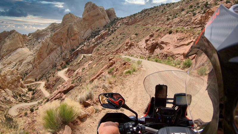
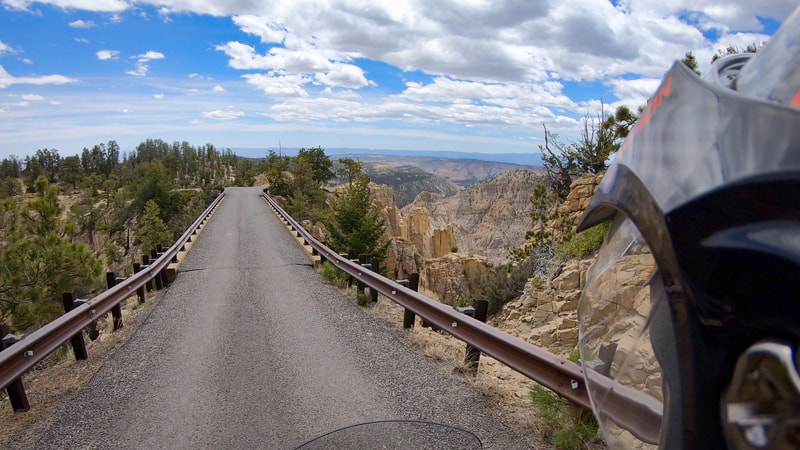
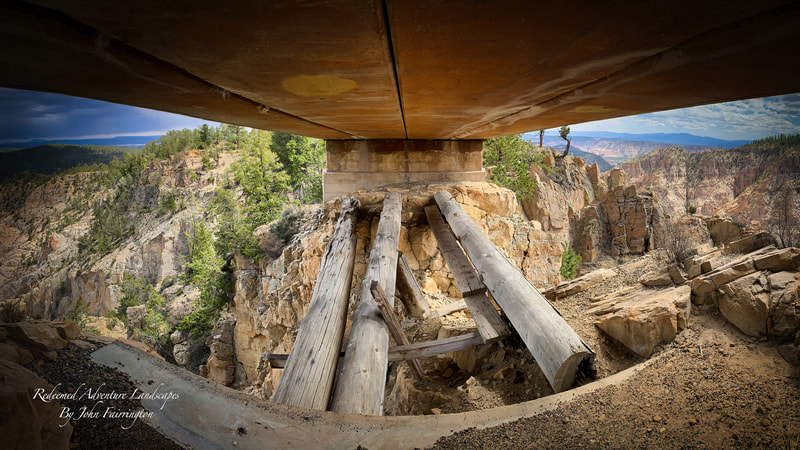
Campground: Thousand Lakes RV Resort • Resort Park Services • Fuel: Longest distance between Fuel Points is 80-85 miles. Dinner: In camp, Backpack meals. Coffee, Tea, or Beverage. Info: The Aquarius Plateau is the highest timbered plateau in North America, peaking at 11,328 feet at Bluebell Knoll on Boulder Mountain. Running for about 100 miles along the northern edge of the Grand Staircase, the Aquarius Plateau was formed around 20 million years ago by tectonic plate uplift on the Colorado Plateau. It encompasses more than 900 square miles and is the largest and highest plateau in Bryce Canyon Country with more than 50,000 rolling acres above 11,000 feet. Hell's Backbone is a rugged area that bridges between towering Boulder Mountain on the north and canyons cut by the the Escalante River and its tributaries on the south. The Hells Backbone Road is a winding route that follows ridges and mountain contours through the area. The road forks from All American Highway 12 near the town of Boulder. From there it runs west, climbing halfway up Boulder Mountain to connect with the Posey Lake/Pine Creek Road. That road comes north of out the town of Escalante, allowing travelers to complete a 38-mile loop back down to Hwy 12. Hell's Backbone Road is gravel, graded occasionally, and suitable for family cars during dry weather. It runs from juniper desert up into the lush pine and aspen forest on Boulder Mountain. It was built by CCC (Civilian Conservation Corps) workers during the Great Depression era. About midway along the route, the road crosses the historic old, wooden Hell's Backbone Bridge. In that area it follows contours just above the Box/Death Hollow Wilderness Area, and provides outstanding views down into rugged canyons. Several trailheads allow hikers/backpackers to access various parts of the wilderness. On its western end, the road runs above the deep canyon cut by Pine Creek. Trails allow adventurers to descend into that canyon. Posey Lake Campground is located next to its beautiful namesake lake high on the Colorado Plateau at an elevation of 8,800 feet. Visitors enjoy canoeing, fishing and exploring local trails. Natural Features: The campground is situated on a hillside above Posey Lake. A scenic forest of towering ponderosa pines covers the area. Clusters of aspens dot the landscape and summer wildflowers are abundant. Highlights: This Xcursion covers every geological attribute that You will find in the Grand Staircase. Seeing it all on the same day will blow your mind! Need to Know: This area is remote so cover your bases with food, water, and the right gear for backcountry travel. Cell service will be sparse and emergency services such as medical and towing can be hard to come by. Always travel these areas in a group and the proper provisions. Bring a 1 day fishing license and a small telescopic ugly stick, a few lures and you won't be disappointed! Helpful Link: Take the Road Less Traveled • Hell's Backbone Vid • Devil's Garden Video • Helpful Link: Youtube IRR Burr Trail Video • The Aquarius Plateau Youtube • |
DAY 6 GOBLIN VALLEYMileage: Total miles 163.0
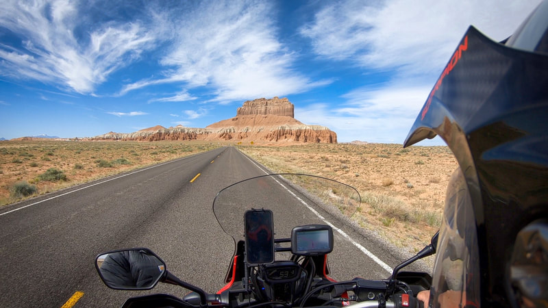
Campground: Thousand Lakes RV Resort • Resort Park Services • Fuel: Longest distance between Fuel Points is 106.0 miles. Dinner: In camp, Backpack meals. Coffee, Tea, or Beverage. Info: Cowboys searching for cattle first discovered secluded Goblin Valley. Then in the late 1920s, Arthur Chaffin, owner/operator of the Hite Ferry, and two companions were searching for an alternative route between Green River and Caineville. They came to a vantage point about a mile west of Goblin Valley and were awed by what they saw, five buttes and a valley of strange-shaped rock formations surrounded by a wall of eroded cliffs.In 1949, Chaffin returned to the area he called Mushroom Valley. He spent several days exploring the mysterious valley and photographing its scores of intricately eroded creatures. The area was acquired by the state of Utah and in 1964 was officially designated a state park. Goblin Valley State Park is a showcase of geologic history. Exposed cliffs reveal parallel layers of rock bared by erosion. Because of the uneven hardness of sandstone, some patches resist erosion much better than others. The softer material is removed by wind and water, leaving thousands of unique, geologic goblins. Water erosion and the smoothing action of windblown dust work together to shape the goblins. The area alongside UT 24, past Goblin Valley State Park and further west to a particularly remote region known as the Moroni Slopes and they are embedded in what is known as The San Rafael Reef. There are over 30 canyons to explore along this part of the reef, and apart from a few near Goblin Valley (Bell • Little Wild Horse • Ding/Dang • Crack Canyon • all are remote, hidden and rarely. Little Wild Horse is certainly one of our favorites if you visit the area. Highlights: Goblin Valley State Park • Need to Know: If you plan to hike, bring hiking shoes that can get wet, a walking stick, hat, and day pack with plenty of water and snacks. Start conditioning for the hike at least a month ahead of time! Helpful Link: Hiking Little Wild Horse Canyon • Driving The Temple Mountain Trails • |
DAY 7 CATHEDRAL VALLEY • SUNSET POINTMileage: Total miles 116.0
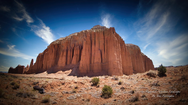
Campground: Thousand Lakes RV Resort • Resort Park Services • Fuel: Longest distance between Fuel Points is 80 miles. Dinner: In camp, Backpack meals. Coffee, Tea, or Beverage. Info: The Cathedral Valley District of Capitol Reef National Park is a remote, rugged region. Vehicles with high ground clearance, even those without four-wheel drive, can usually negotiate the roads without difficulty. However, road conditions can vary greatly depending on recent weather conditions. Spring and summer rains and winter snows can leave the roads muddy, washed out, and impassable to the best high-clearance four-wheel drive vehicle Highlights: You are in the middle of nowhere and very few venture here! Upper and Lower Cathedral Valley offer exquisite views of sculptured monoliths with intriguing names such as the Walls of Jericho and the Temples of the Sun, Moon, and Stars. The monoliths are composed of the earthy, buff-pink Entrada Sandstone. There are photo ops at every turn. Need to Know: Check at the visitor center, about river ford conditions or call 435-425-3791. Press #1 for information, and then #4 for current road conditions. For weather conditions press #3. Foot and vehicle travel in the Cathedral Valley area is light, so be prepared for the unexpected. The south end of the Hartnet Road near Highway 24 requires fording the Fremont River; there is no bridge over the river. Do not attempt to cross the river during floods or other periods of high water. The ford has a hard packed, rocky bottom and water levels are normally a foot or less deep and is suitable for SUV's. Helpful Link: Cathedral Valley Capitol Reef • Sunset Point • |
DAY 8 GOOSEBERRY TO COLD SPRINGS STATIONMileage: Total miles 491.0 (Gain 1 hour time with time change!)
Campground: Cold Springs Station $25 per Fuel: Longest distance between Fuel Points is 80 miles. Dinner: In camp, Backpack meals. Coffee, Tea, or Beverage. Info: Utah's Gooseberry Fremont Scenic Backway runs about 37 miles between Salina Canyon on I-70 to the north and the intersection of Highway 25 and Highway 72 just north of Fremont. This backway accesses some of the region’s finest Aspen forest's and meadow scenery and is locally renowned as a spectacular fall drive with blankets of wildflowers that appear below the surrounding mountain peaks in summer. Our early morning route From Torrey, Utah to Cold Springs Station, NV travels from Loa to Fremont and Johnson Valley Reservoir then through High Alpine Aspens over the Gooseberry to I-70. Highlights: Aspen Groves • High Mountain Pass • Great Fall Colors • Less Traveled • Must see! Need to Know: This is a long day and an early start is imperative! Plan to leave at daybreak. Helpful Link: Youtube Gooseberry Hwy Vid • |
DAY HOMEMileage: Total Miles 489.0
Home: If they'll have you! Fuel: Longest distance between Fuel Points is 106.0 miles. Dinner: Home if they'll still feed you! Info: Seeing the way you came from in the opposite direction provides for an equally satisfying and new experience. We love this route! Highlights: You'll be smiling for the next week! Need to Know: This is a fast pace day! Some participants will be traveling to other destinations, others extend their trip and stay an extra night on the road. Sometimes your Event leader rides to the middle of The Black Rock Playa and stakes his tent down or just keeps going.The Point is... Enjoy your trip home without any pressure from those going at a faster pace and don't feel obligated to keep up! Helpful Link: The Black Rock Playa • The Desert Travel • |

