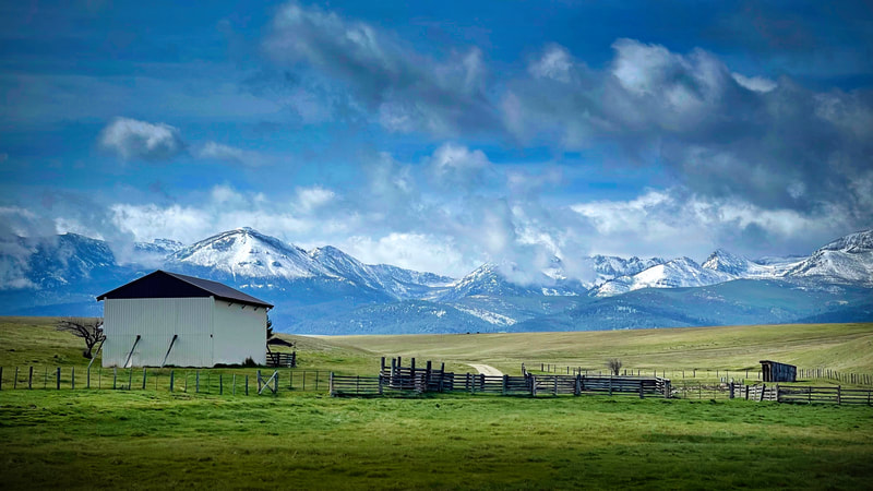
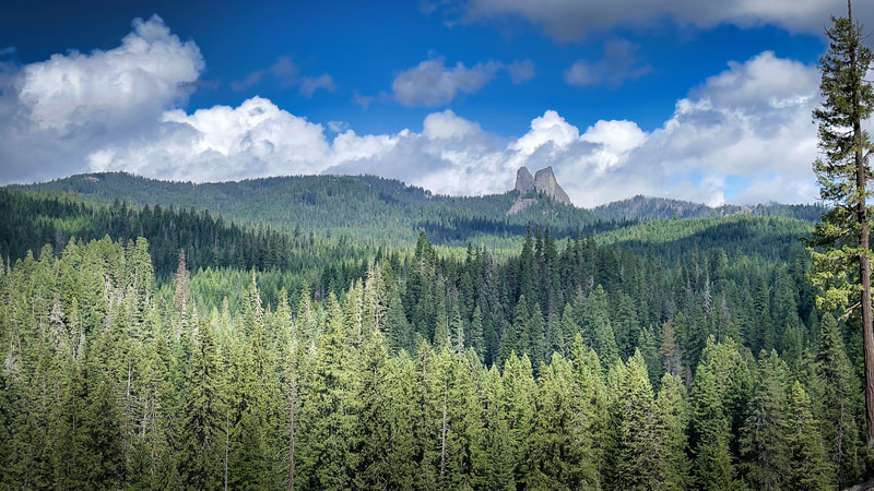
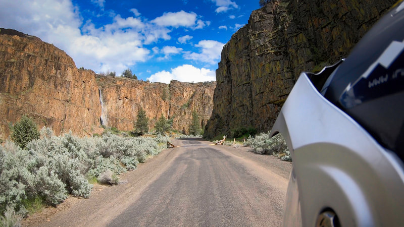
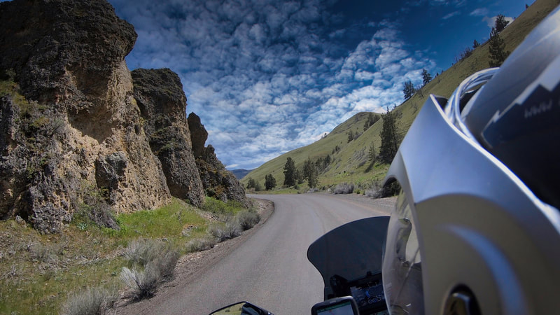
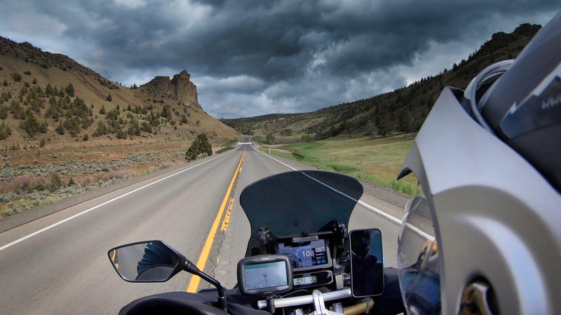
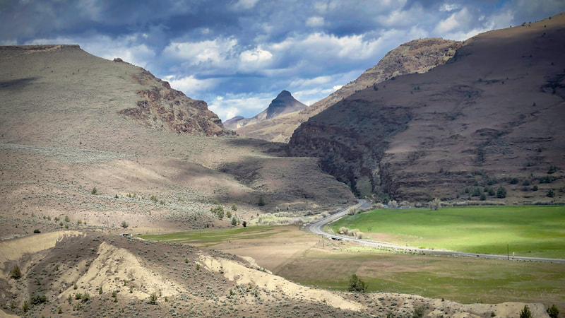
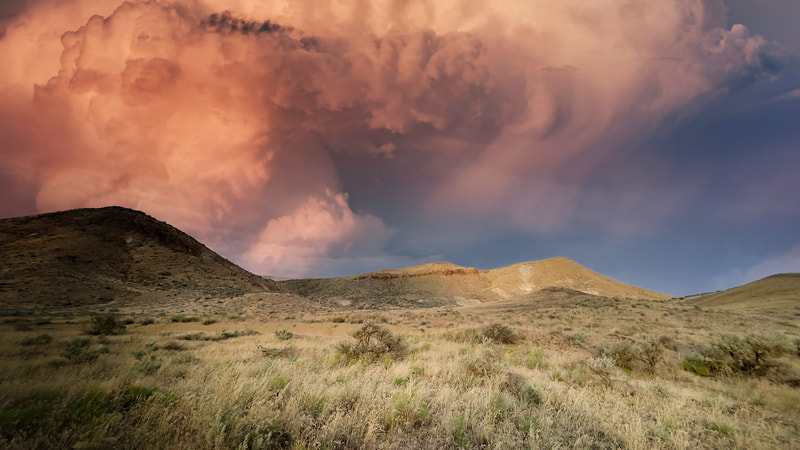
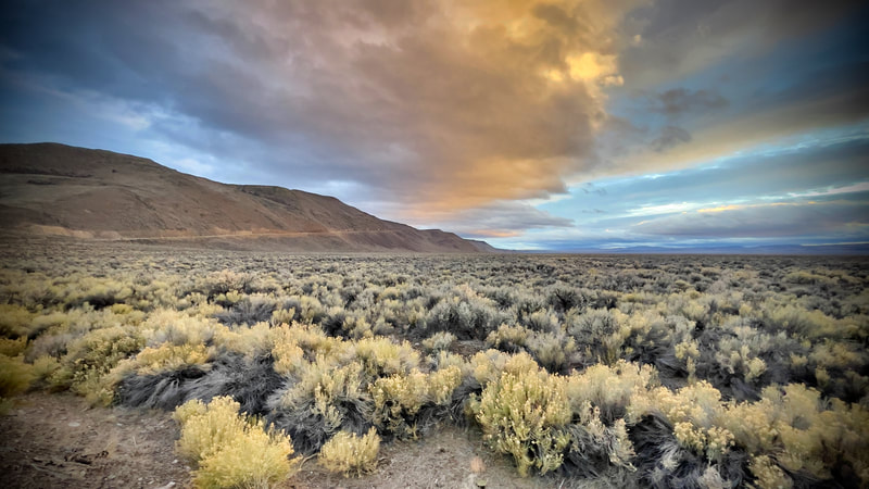
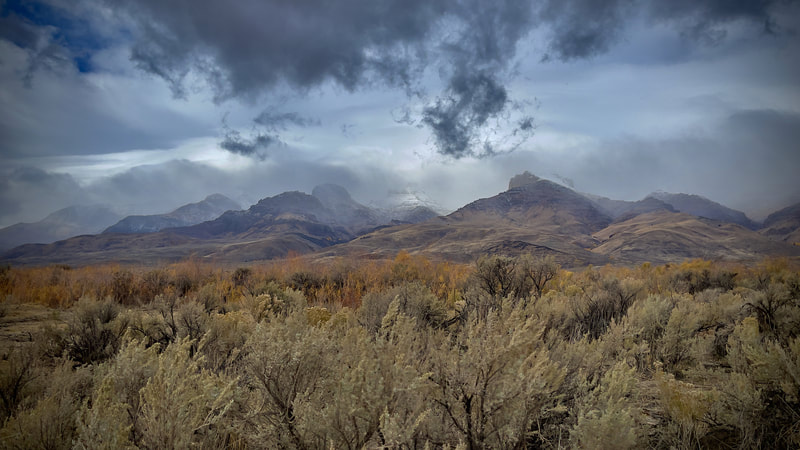
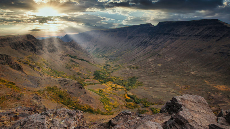
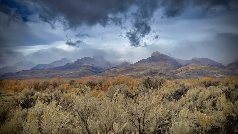
Eastern and Central Oregon are home to some of the most spectacular landscapes in North America including vast expanses of sagebrush sea, and remote mountain ranges. Anywhere you end up becomes a picturesque treasure of remote outpost charm, with canyons, deserts, and hot springs. It truly is the great outdoors! With all that and more, it can be a tad overwhelming to take it in. We are attempting to take it in at a pace that is memorable, interesting, and captures a place’s essence. For this event we have compiled the least visited, most remote, and in our opinion most epic places in Oregon. Sure to make your adventure fun and exciting. We will begin Friday morning to get some miles under our belt. Our first destination will be located in the southern most portions of the Fremont National Forest. The following days will include the Alvord Desert, The Owyhee Canyons own Leslie Gulch, Succour Creek, Hells Canyon, and The Oregon Fossil Beds National Monument, before heading back to the Rogue Valley. The event will accommodate any Motorcycle having the ability to haul your luggage and gear and is also designed to be done by SUV's, RV's, and Recreational Vehicles with a little higher clearance, and the ability to explore. Couples with a single vehicle can add $25 per day to the cost. Just do the math and select the (Custom Amount) to pay at checkout. Minimum event occupancy is 3 clients total and each ride event is limited to 9 occupants. No additional discounts are available at this time! The cost of food, fuel, and lodginging is not provided by IRR - I Ride Rogue and is the sole responsibility of each client. The deadline for registration is February 1st, 2023. Call us at 541-621-8814 for additional details. GPX Files can be downloaded for your navigational devices and the Google Icon will open an interactive map for your viewing online. THE COST OF THIS EVENT IS $600 SEE THE RATE SCHEDULE HERE.
DAY 1 LOFTON RESERVOIR OR ALVORD HOT SPRINGSMileage: Crooked River Canyon 172 mi.
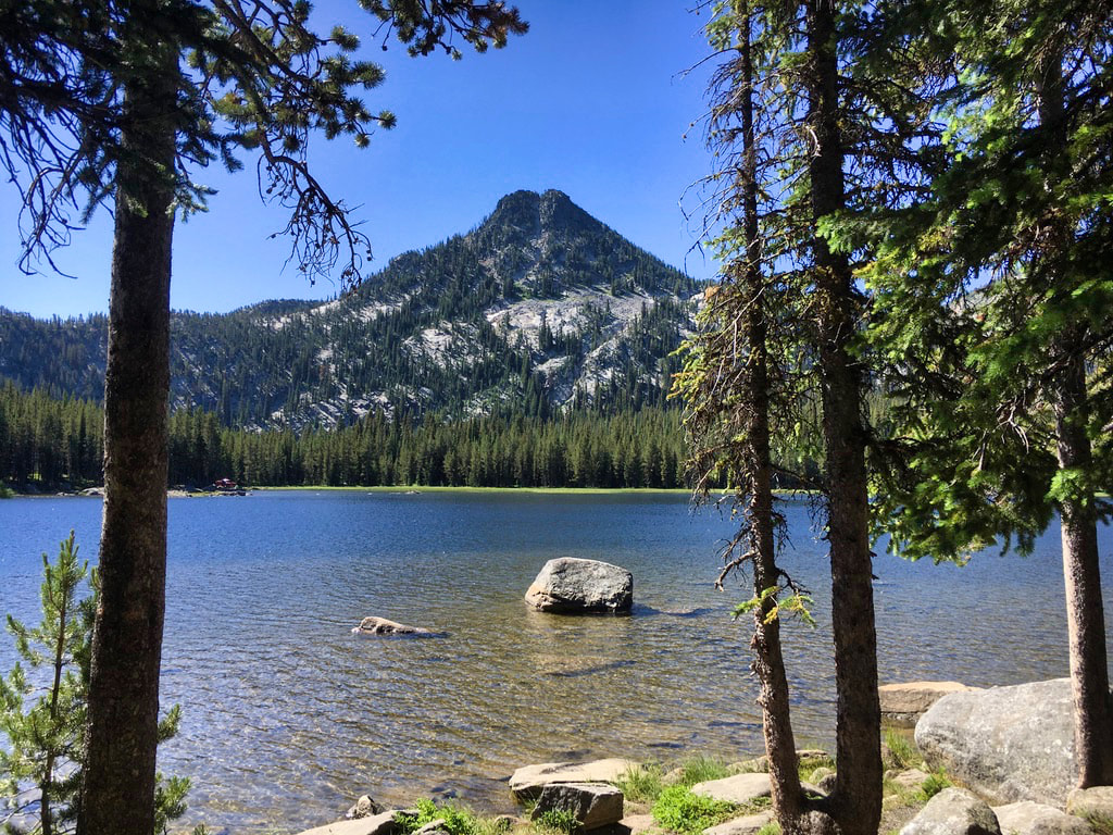
Campground: Lofton Reservoir Fuel: Longest distance between Fuel Points is 78 miles. Dinner: In camp, Backpack meals. Coffee, Tea, or Beverage. Info: Lofton Recreation Area. Located 45 minutes east of Bly, Oregon, this highly developed campground features 26 campsites. 24 of the campsites are RV sites. The road is paved all the way to Lofton Area Reservoir, ideal if you’re towing a trailer or boat. These spacious campsites accommodate trailers and feature grills, fire rings, picnic tables, and tent pads. This high elevation forest setting showcases a mixed conifer stand. The refreshing lakeside environment attracts migratory birds and deer. Although the water level varies in the reservoir, it is stocked annually. There is no potable water. Visitors need to pack an adequate supply of water. Fuel: Longest distance between Fuel Points is 78 miles. Dinner: In camp, Backpack meals. Coffee, Tea, or Beverage. Meets at: The Human Bean Coffee White City, OR. Departure Time: 6:00 AM May 15th, 2023. |
DAY 2 ALVORD HOT SPRINGS & DESERTMileage: There are some 78 mile stretches • 136 miles off-hwy route.
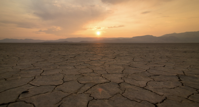
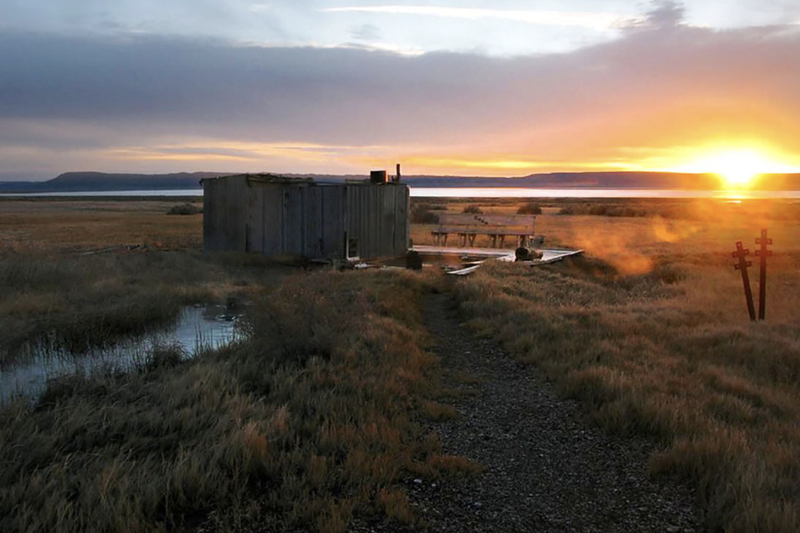
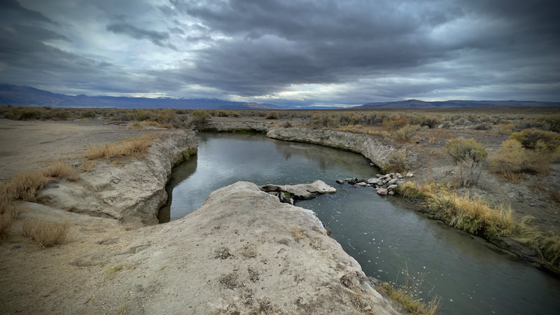
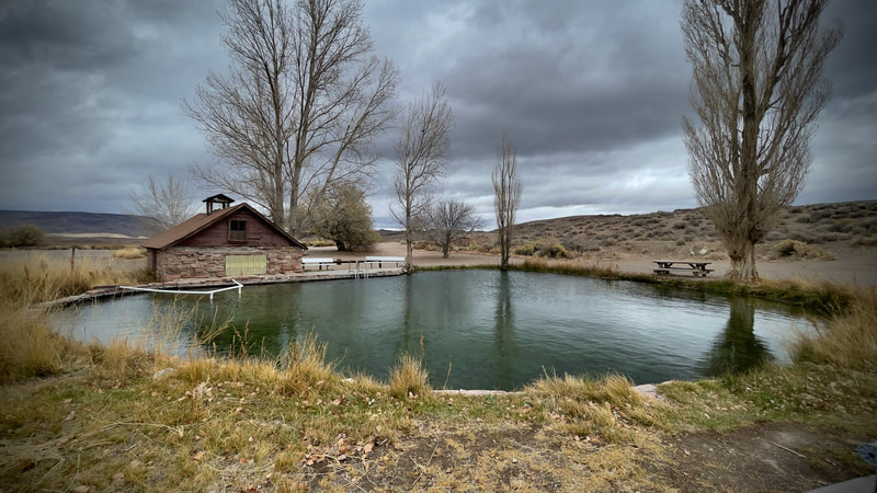
Campground: Alvord Hot Springs Fuel: Longest distance between Fuel Points is 81 miles. (You choose how far to stretch it. 136 mi, 106.mi. or 81 mi). Dinner: In camp, Backpack meals. Coffee, Tea, or Beverage. Info: Alvord Hot Springs is privately owned by the Davis family and hosts twin concrete pools dating back to the 1940s and modernized over the years. The hot springs have on-site caretakers, a small store/reception center, restroom, bunkhouses and campsites. The pools are near the East base of Steens Mountain, one mile below the summit at the edge of the Alvord Desert. The water comes out of the ground at 170 degrees and cools when mixed in the soaking pools. Overnight guests can use the pool at any hour, while day visitors are welcome during normal business hours. Our General Store sells Beverages, Snacks, Ice, Alvord Ranch Beef, Bath Towels, Clothing & Souvenirs, Propane, Bottled Water and other miscellaneous necessities. Should you choose and if it is dry enough, camping on one of the largest playa lakes in the state will be something else! You’d think that a bunch of planning is involved, special gear is needed, or perhaps you’d need to get a permit or to jump through hoops to be able to camp at such an epic place… But No! Camping at Alvord Desert couldn’t be any easier. And the best part? It’s pretty much free! Except for a $5 fee for use of the best access road to enter. Highlights: The Playa is a 12-mile long and 7-mile wide dried up lake bed that was formed when water evaporated and left behind its salt minerals and silt that is thousands of feet deep. What’s left is an alien landscape. The dusty white crackled land that’s backed with the majestic uplift of the Steen Mountains. Shifts in the plates can echo through the lake bed and sound like a sonic boom! It is a playground for few in-the-know people looking for a different type of adventure. Need to Know: There are fees for use of the Hot springs and it is money well spent. In inclimate weather... Optional bunkers that sleep 4 are available to rent. Each have fire rings and you can pre order Ribeye Steak to cook on the open fire. This is how I would perpetuate life off-grid if given permission by the Mrs. (or otherwise forced!) Helpful Link: Everything You Need to Know About Camping At Alvord Desert & Alvord Hot Springs |
DAY 3 OWYHEE CANYONMileage: HWY MAP 285 MI • OFF HWY MAP 155 MI • 50/50 MAP
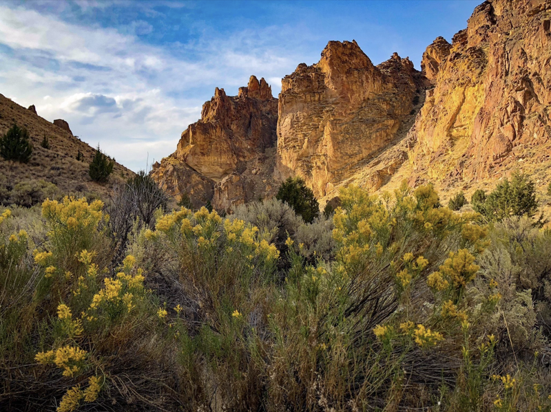
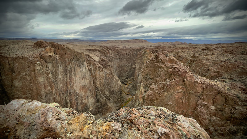
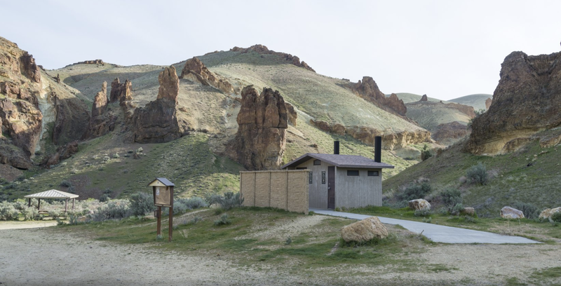
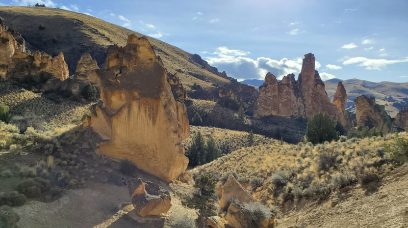
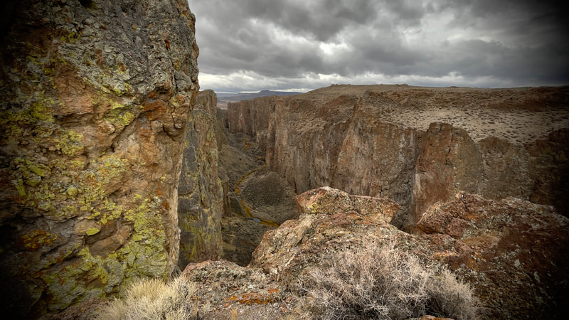
Campground: Slocum Creek Campground • Lake Owyhee State Park • Fuel: Longest distance between Fuel Points is 78 miles. Dinner: In camp, Backpack meals. Coffee, Tea, or Beverage. Info: Carved by desert rivers winding toward the Pacific, Oregon’s Owyhee Canyonlands is the last great unprotected expanse of the American West. Its craggy red-rock canyons, blue-ribbon trout streams and rolling hills make up a diverse wild land nearly the size of Yellowstone, home to a rich array of wildlife. There’s no place else like it. Jaws will drop on the drive to the Slocum Creek Campground. Every bend winding into Leslie Gulch reveals red-rock wonder, complete with slot canyons and towering hoodoos. This area is not only a highlight; it also offers some of the region’s easiest access. Highlights: This area offers breathtaking day hikes with some of the easiest access in the Owyhee country. Families can try Juniper Gulch and Dago Gulch. Climbers head for the bouldering of Upper Leslie Gulch. Anglers and kayakers find the boat launch below the campground a great starting point into Lake Owyhee. And the largest herd of California bighorn sheep in the nation got its start here after reintroduction in the mid-1960s. Look for these majestic animals on the rocky slopes. Need to Know: The nearly 25 miles of gravel dirt road coming to the Slocum Creek Campground is navigable by almost all passenger vehicles under dry conditions. Large RVs are best left at home, as negotiating the steep grade with boat traffic can be dicey. There are additional campsites at the head of Dago Gulch for tents. The Alternatives: As you have already noticed this event has options for Hwy, Off-Hwy, and 50/50 travel. Each provides a unique and different experience. As the event takes form this gives multiple options and allows anyone the opportunity to determine what works best for adventure, experience levels, equipment, and preparedness. |
DAY 4 HELLS CANYONMileage:
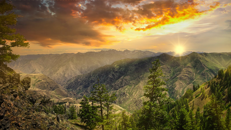
Campground: Ollokot Campground The Ollokot Campground is located in an old growth ponderosa pine forest along the Wild and Scenic Imnaha River. As a favorite weekend 'get away' or summer destination site, the area remains popular for those wanting to fish, pick berries, take day hikes, or explore along the Hells Canyon Scenic Byway. Fuel: Longest distance between Fuel Points is 78 miles. Dinner: In camp, Backpack meals. Coffee, Tea, or Beverage. Info: Hells Canyon & the Snake Follow Highway 86 from the junction of the Forest Road 39 to the Snake River, across the bridge and on to Hells Canyon Dam. Nearly 100 miles of backwater from three Idaho Power hydroelectric dams provide ample space for watercraft enthusiasts and anglers alike. The river is wild and scenic below the dam, and affords excellent opportunities to view Hells Canyon from waters edge up! Services at Pine, Oxbow, and at rivers edge include lodging, dining, groceries, gas, and shuttle service. Recreational opportunities include rafting, jet boat rides, camping, fishing, and hiking in the nation’s deepest river gorge. The route of the Hells Canyon Scenic Byway is a loop that encircles the Wallowa Mountains, intersecting with Interstate 84 at La Grande and Baker City. Small towns, scattered along the drive, offer visitor services. The entire route is on a paved highway. Plan ahead—you’ll find stretches of more than eighty miles without gas and with few services. A segment of the Byway between Joseph and Halfway closes with snow in winter, but allows access to winter recreation areas, offering a whole other kind of Northeast Oregon Adventure. There are five ports of entry into the Byway: La Grande from I-84, Elgin via OR Hwy. 204, Enterprise via OR Hwy. 3, - Oxbow via Idaho Hwy. 71, and Baker City from I-84. To encompass the entire route, this itinerary follows the Byway traveling from Baker City. Highlights: If the epic canyons and elevation changes aren't enough then the curvy roads through remote and wild wilderness areas will finish you off! Need to Know: There are plentiful Camping options on this day. Always remember to pack mosquito repellent, swimming gear, and cameras. |
DAY 5 THE FOSSIL BEDSMileage: The Painted Fossil Stuff! 274 mi.
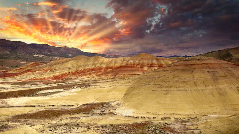
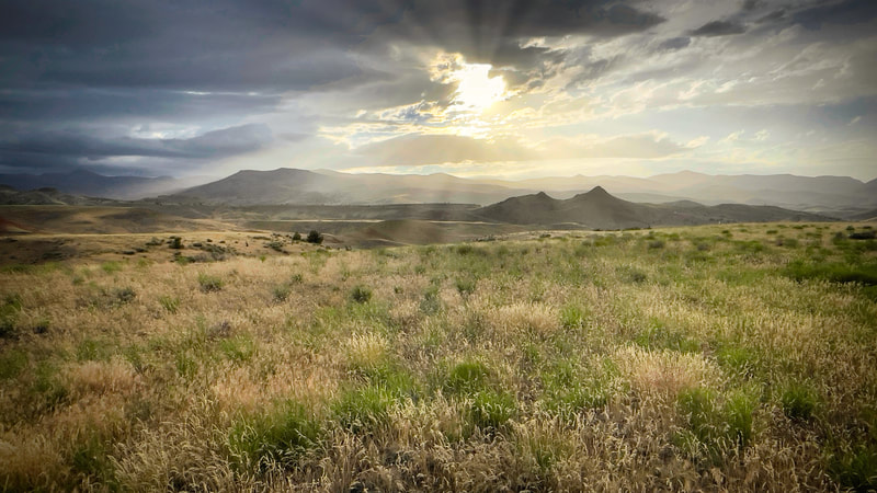
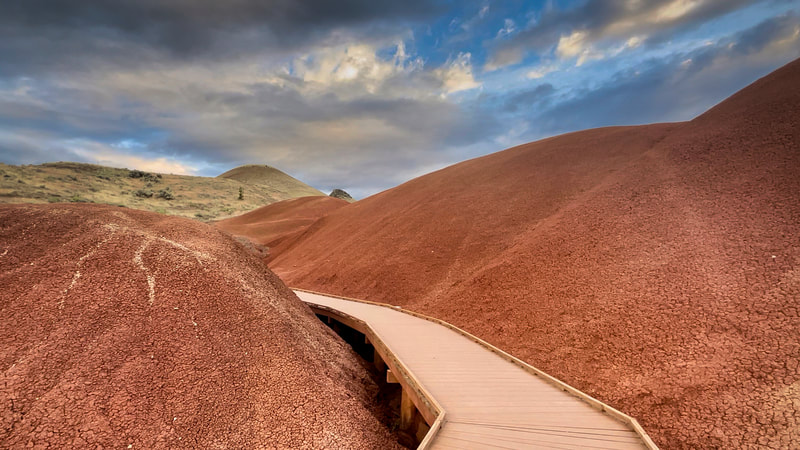
Lodging: Spoke N Hostel Fuel: Longest distance between Fuel Points is 103 miles. Dinner: In camp, Backpack meals. Coffee, Tea, or Beverage. Info: As soon as you see the John Day Fossil Beds, a US National Monument, you’ll be greeted with a stunning landscape of badlands made up of colorful rocks and uniquely eroded pinnacles. Located in Central Oregon, the John Day River cuts its way through the rock. This area of the state is known for its incredibly preserved layers of fossil plants and mammals that lived in the region from from before the Flood. More than 100 species of mammals have been identified in the fossil beds here, from saber tooth tigers to salamanders. With gorgeous bands of reds and gold rippling across rolling hills, it is not really surprising that the Painted Hills is the favorite unit in the John Day Fossil Beds. They look as though they have been stained by the sunset, with colors changing with the time of day. These banded striations correspond to various geological eras that were formed when the area was an ancient river floodplain. Highlights: The John Day is the longest free flowing river in Oregon and a delight for steelhead and smallmouth bass fishing as well as rafting in this arid climate. The Painted Hills Unit of the John Day Fossil Beds National Monument via OR-207 and US-26. This spur forks south at Service Creek and continues to the town of Mitchell for access to the Painted Hills. From here the route heads east on US-26 to reconnect to the original byway at the intersection of OR-19. The extension of the byway through this landscape offers unforgettable views of ancient hills striped in dazzling bands of ochre, gold and bronze volcanic ash, and also connects all three units of the John Day Fossil Beds National Monument. Need to Know: You always have options on this segment. Camping in Spray is one of them! Extending your trip to explore is highly recommended! Our destination is an Old Church that has been renovated as a Hostel for Motorcyclists and Bicycling. The People and Atmosphere of this little town is contagious. Showers will be available at our lodging. Helpful Link: The Fossil Beds • Journey through Time Scenic Byway • |
DAY 6 THE CROOKED RIVER ROUTE HOMEMileage: Home. 321 mi
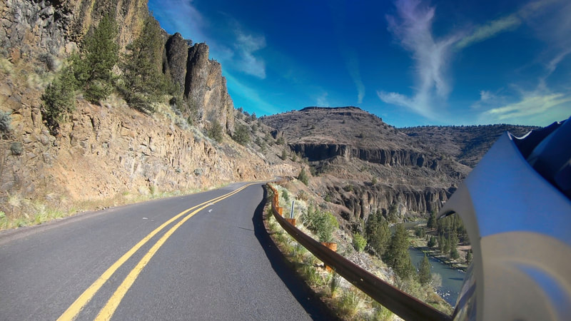
Lodging: Your place if you still have one to go to! Info: The ride from Mitchel is a higher mileage day however, it is most enjoyable. We'll rise early and pack, then fuel in Mitchell, OR. Lunch will come in Alfalfa, OR And then we will fuel a little later for the rest of the trip home. The Crater Lake Hwy highlights our return home! Highlights: The Chimney Rock segment of the Crooked Wild and Scenic River is becoming increasingly popular for all kinds of recreation. Thousands of people visit each year to enjoy the incredible fishing, camping, and scenic views. The area provides for many types of recreation activities including: camping, fishing, hiking, and driving, or bicycling on the Crooked River Backcountry Byway. A paved portion of the 43-mile long Lower Crooked River Back Country Byway winds its way through the river canyon. |

